
El Dadhó topographic map
Interactive map
Click on the map to display elevation.
About this map
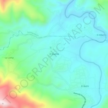
Name: El Dadhó topographic map, elevation, terrain.
Location: El Dadhó, Chilcuautla, Hidalgo, México (20.38611 -99.25611 20.42611 -99.21611)
Average elevation: 6,155 ft
Minimum elevation: 5,745 ft
Maximum elevation: 7,595 ft