
Rabta topographic map
Interactive map
Click on the map to display elevation.
About this map
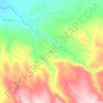
Name: Rabta topographic map, elevation, terrain.
Location: Rabta, Daïra El Hammadia, Bordj Bou Arreridj, Algérie (35.90260 4.73377 35.94260 4.77377)
Average elevation: 3,494 ft
Minimum elevation: 2,749 ft
Maximum elevation: 4,301 ft