
Kampung Nilam Puri topographic map
Interactive map
Click on the map to display elevation.
About this map
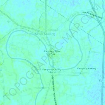
Name: Kampung Nilam Puri topographic map, elevation, terrain.
Location: Kampung Nilam Puri, Kota Bharu, Kelantan, 16010, Malaysia (6.00912 102.22076 6.04912 102.26076)
Average elevation: 36 ft
Minimum elevation: 26 ft
Maximum elevation: 46 ft