
Chole topographic map
Interactive map
Click on the map to display elevation.
About this map
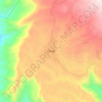
Name: Chole topographic map, elevation, terrain.
Location: Chole, Arsi, Oromia, Äthiopien (8.09797 39.86080 8.17797 39.94080)
Average elevation: 8,671 ft
Minimum elevation: 6,191 ft
Maximum elevation: 10,627 ft