
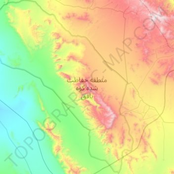
Kuh-e Bafgh Protected Area topographic map
Interactive map
Click on the map to display elevation.
About this map
Name: Kuh-e Bafgh Protected Area topographic map, elevation, terrain.
Average elevation: 5,627 ft
Minimum elevation: 3,461 ft
Maximum elevation: 9,721 ft