
Ranchería de los Dolores topographic map
Interactive map
Click on the map to display elevation.
About this map
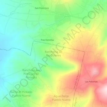
Name: Ranchería de los Dolores topographic map, elevation, terrain.
Average elevation: 9,347 ft
Minimum elevation: 8,786 ft
Maximum elevation: 10,177 ft