
Parapat topographic map
Interactive map
Click on the map to display elevation.
About this map
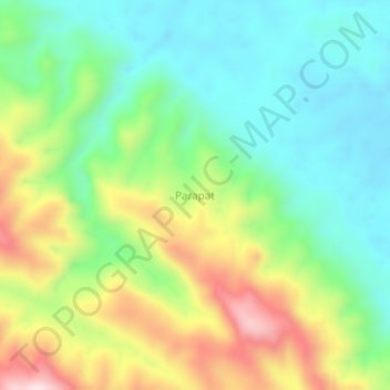
Name: Parapat topographic map, elevation, terrain.
Location: Parapat, Padang Lawas, North Sumatra, Indonesia (0.94232 99.90093 0.98232 99.94093)
Average elevation: 830 ft
Minimum elevation: 315 ft
Maximum elevation: 1,759 ft