
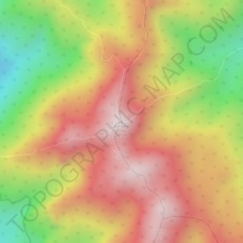
Gunung Angsi topographic map
Interactive map
Click on the map to display elevation.
About this map
Name: Gunung Angsi topographic map, elevation, terrain.
Location: Gunung Angsi, Seremban, Negeri Sembilan, Malaysia (2.69836 102.04799 2.69846 102.04809)
Average elevation: 1,814 ft
Minimum elevation: 623 ft
Maximum elevation: 2,635 ft