
l'Hospitalet de Llobregat topographic map
Interactive map
Click on the map to display elevation.
About this map
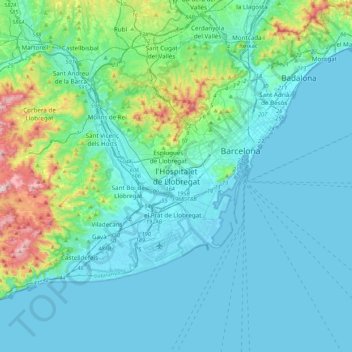
Name: l'Hospitalet de Llobregat topographic map, elevation, terrain.
Average elevation: 292 ft
Minimum elevation: -7 ft
Maximum elevation: 2,073 ft