
Chautauqua Lake topographic map
Interactive map
Click on the map to display elevation.
About this map
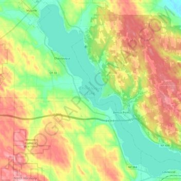
Name: Chautauqua Lake topographic map, elevation, terrain.
Average elevation: 1,519 ft
Minimum elevation: 1,260 ft
Maximum elevation: 1,886 ft
Chautauqua Lake, at an elevation of 1,308 feet (399 m) above sea level, is higher than any of the Finger Lakes. It is also one of the highest navigable lakes in North America. The lake's water level is regulated by Warner Dam, with the water level lifted during the summer to allow for recreational boat use and lowered during the winter months.