
Las Flores topographic map
Interactive map
Click on the map to display elevation.
About this map
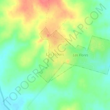
Name: Las Flores topographic map, elevation, terrain.
Location: Las Flores, Rivera, 41100, Uruguay (-31.78928 -55.20328 -31.77573 -55.18061)
Average elevation: 469 ft
Minimum elevation: 384 ft
Maximum elevation: 581 ft