
Sainte-Marie-du-Mont topographic map
Interactive map
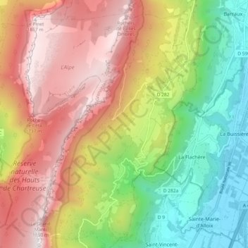
Click on the map to display elevation.
About this map
Name: Sainte-Marie-du-Mont topographic map, elevation, terrain.
Average elevation: 3,369 ft
Minimum elevation: 781 ft
Maximum elevation: 6,191 ft