
Kankesanturai topographic map
Interactive map
Click on the map to display elevation.
About this map
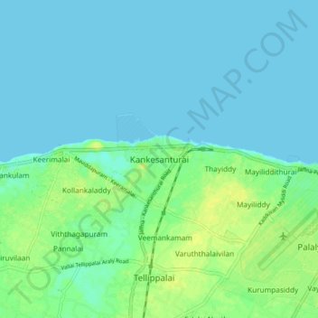
Name: Kankesanturai topographic map, elevation, terrain.
Location: Kankesanturai, Jaffna District, Northern Province, Sri Lanka (9.77187 79.99745 9.85187 80.07745)
Average elevation: 16 ft
Minimum elevation: 0 ft
Maximum elevation: 59 ft