
Saja topographic map
Interactive map
Click on the map to display elevation.
About this map
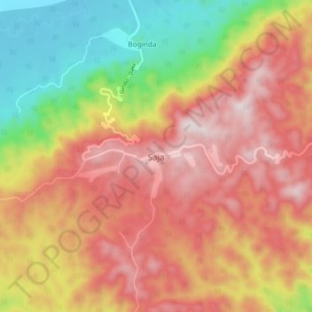
Name: Saja topographic map, elevation, terrain.
Location: Saja, Kaffa, Pueblos del Sur, Etiopía (7.46447 36.03025 7.54447 36.11025)
Average elevation: 6,375 ft
Minimum elevation: 5,079 ft
Maximum elevation: 7,438 ft