
Chardonne topographic map
Interactive map
Click on the map to display elevation.
About this map
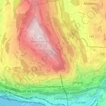
Name: Chardonne topographic map, elevation, terrain.
Location: Chardonne, District de la Riviera-Pays-d’Enhaut, Valdia, Suiza (46.46904 6.79733 46.51246 6.84256)
Average elevation: 2,418 ft
Minimum elevation: 1,207 ft
Maximum elevation: 3,566 ft