
Huapi topographic map
Interactive map
Click on the map to display elevation.
About this map
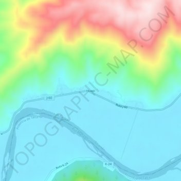
Name: Huapi topographic map, elevation, terrain.
Location: Huapi, Provincia de Curicó, Región del Maule, Chile (-35.05058 -72.12600 -35.01058 -72.08600)
Average elevation: 374 ft
Minimum elevation: 3 ft
Maximum elevation: 1,273 ft