
Charr topographic map
Interactive map
Click on the map to display elevation.
About this map
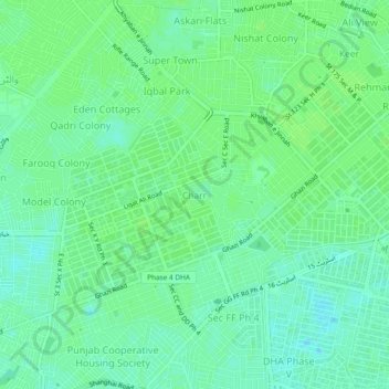
Name: Charr topographic map, elevation, terrain.
Location: Charr, Lahore District, Punjab, 54791, Pakistan (31.45537 74.36416 31.49537 74.40416)
Average elevation: 709 ft
Minimum elevation: 689 ft
Maximum elevation: 715 ft