
Kampung Palimbayan Indah topographic map
Interactive map
Click on the map to display elevation.
About this map
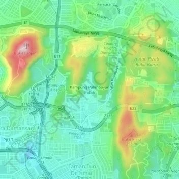
Name: Kampung Palimbayan Indah topographic map, elevation, terrain.
Location: Kampung Palimbayan Indah, Kuala Lumpur, 47820, Malásia (3.14724 101.60676 3.18724 101.64676)
Average elevation: 361 ft
Minimum elevation: 46 ft
Maximum elevation: 1,063 ft