
Bolsover topographic map
Interactive map
Click on the map to display elevation.
About this map
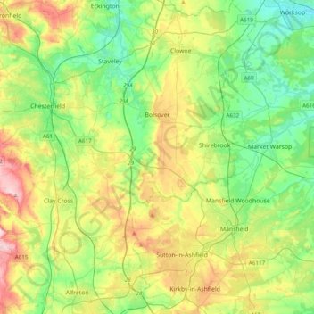
Name: Bolsover topographic map, elevation, terrain.
Location: Bolsover, Derbyshire, East Midlands, Engeland, VK (53.08097 -1.37827 53.31293 -1.16649)
Average elevation: 394 ft
Minimum elevation: 95 ft
Maximum elevation: 974 ft