
Plasencia topographic map
Interactive map
Click on the map to display elevation.
About this map
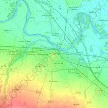
Name: Plasencia topographic map, elevation, terrain.
Location: Plasencia, PC, Emilia-Romaña, Italia (44.99238 9.60056 45.11323 9.82523)
Average elevation: 197 ft
Minimum elevation: 131 ft
Maximum elevation: 348 ft