
Dreesch topographic map
Interactive map
Click on the map to display elevation.
About this map
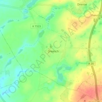
Name: Dreesch topographic map, elevation, terrain.
Location: Dreesch, Gramzow, Uckermark, Brandenburg, Germany (53.27395 13.94064 53.31395 13.98064)
Average elevation: 230 ft
Minimum elevation: 154 ft
Maximum elevation: 335 ft