
Trace topographic map
Interactive map
Click on the map to display elevation.
About this map
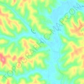
Name: Trace topographic map, elevation, terrain.
Location: Trace, Boyd County, Kentucky, 41168, États-Unis d'Amérique (38.30767 -82.74509 38.34767 -82.70509)
Average elevation: 735 ft
Minimum elevation: 600 ft
Maximum elevation: 965 ft