
Derby topographic map
Interactive map
Click on the map to display elevation.
About this map
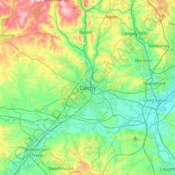
Name: Derby topographic map, elevation, terrain.
Location: Derby, East Midlands, England, DE1 2AA, United Kingdom (52.76126 -1.63615 53.08126 -1.31615)
Average elevation: 315 ft
Minimum elevation: 79 ft
Maximum elevation: 1,033 ft