
Posts topographic map
Interactive map
Click on the map to display elevation.
About this map
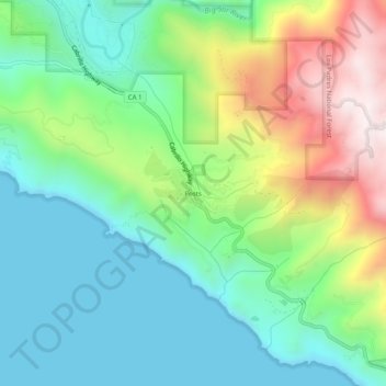
Name: Posts topographic map, elevation, terrain.
Location: Posts, Monterey County, California, 93920-9549, USA (36.20830 -121.78440 36.24830 -121.74440)
Average elevation: 823 ft
Minimum elevation: 0 ft
Maximum elevation: 2,602 ft