
An der Schmücke topographic map
Interactive map
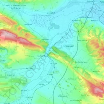
Click on the map to display elevation.
About this map
Name: An der Schmücke topographic map, elevation, terrain.
Location: An der Schmücke, Kyffhäuserkreis, Turingia, Alemania (51.23452 11.09709 51.35125 11.32842)
Average elevation: 571 ft
Minimum elevation: 387 ft
Maximum elevation: 1,283 ft