
Los Burros topographic map
Interactive map
Click on the map to display elevation.
About this map
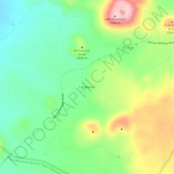
Name: Los Burros topographic map, elevation, terrain.
Location: Los Burros, Apache County, Arizona, USA (34.12143 -109.79705 34.16143 -109.75705)
Average elevation: 7,910 ft
Minimum elevation: 7,585 ft
Maximum elevation: 8,474 ft