
Portopetro topographic map
Interactive map
Click on the map to display elevation.
About this map
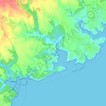
Name: Portopetro topographic map, elevation, terrain.
Location: Portopetro, Santanyí, Migjorn, Balearic Islands, 07691, Spain (39.34124 3.18919 39.38124 3.22919)
Average elevation: 52 ft
Minimum elevation: -3 ft
Maximum elevation: 197 ft