
's-Gravenwezel topographic map
Interactive map
Click on the map to display elevation.
About this map
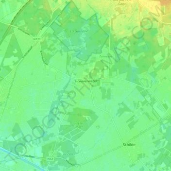
Name: 's-Gravenwezel topographic map, elevation, terrain.
Location: 's-Gravenwezel, Schilde, Anvers, 2970, Belgique (51.22903 4.52935 51.29242 4.59729)
Average elevation: 36 ft
Minimum elevation: 3 ft
Maximum elevation: 75 ft