
Hannêche topographic map
Interactive map
Click on the map to display elevation.
About this map
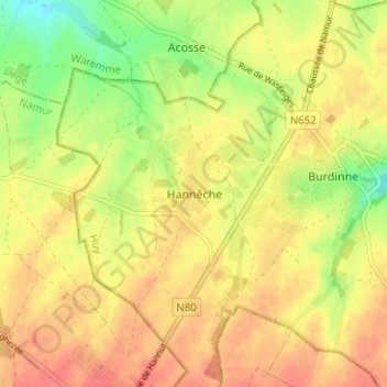
Name: Hannêche topographic map, elevation, terrain.
Location: Hannêche, Burdinne, Huy, Liège, Wallonie, 4210, Belgique (50.55942 5.02984 50.59942 5.06984)
Average elevation: 564 ft
Minimum elevation: 463 ft
Maximum elevation: 630 ft