
Celles topographic map
Interactive map
Click on the map to display elevation.
About this map
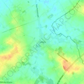
Name: Celles topographic map, elevation, terrain.
Location: Celles, Tournai-Mouscron, Hainaut, Wallonie, 7760, Belgique (50.69254 3.43717 50.73254 3.47717)
Average elevation: 82 ft
Minimum elevation: 43 ft
Maximum elevation: 157 ft