
Anthony topographic map
Interactive map
Click on the map to display elevation.
About this map
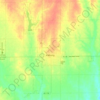
Name: Anthony topographic map, elevation, terrain.
Location: Anthony, Harper County, Kansas, 67003, États-Unis d'Amérique (37.11952 -98.08760 37.19552 -97.98798)
Average elevation: 1,335 ft
Minimum elevation: 1,253 ft
Maximum elevation: 1,404 ft