
Rheinsberg topographic map
Interactive map
Click on the map to display elevation.
About this map
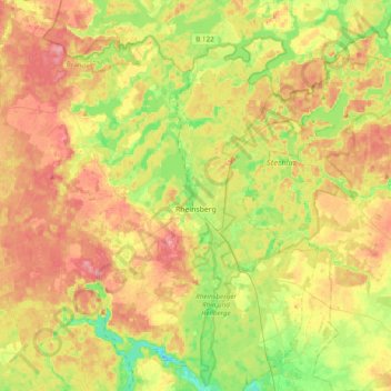
Name: Rheinsberg topographic map, elevation, terrain.
Location: Rheinsberg, Ostprignitz-Ruppin, Brandenburg, Germany (53.00140 12.64163 53.21007 13.02816)
Average elevation: 236 ft
Minimum elevation: 98 ft
Maximum elevation: 377 ft