
Raikia topographic map
Interactive map
Click on the map to display elevation.
About this map
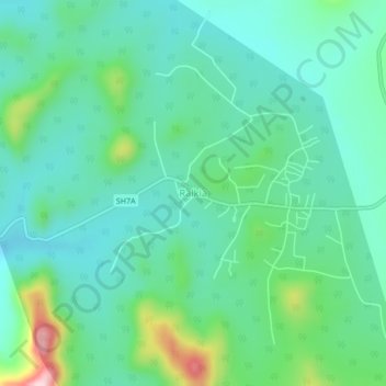
Name: Raikia topographic map, elevation, terrain.
Location: Raikia, Kandhamal, Odisha, 762101, India (20.04057 84.21043 20.08057 84.25043)
Average elevation: 2,359 ft
Minimum elevation: 2,152 ft
Maximum elevation: 3,031 ft