
Langewahl topographic map
Interactive map
Click on the map to display elevation.
About this map
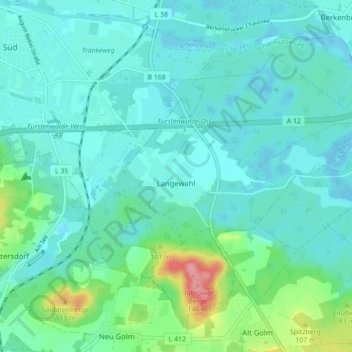
Name: Langewahl topographic map, elevation, terrain.
Location: Langewahl, Scharmützelsee, Oder-Spree, Brandenburg, Germany (52.30621 14.07779 52.34920 14.16521)
Average elevation: 177 ft
Minimum elevation: 115 ft
Maximum elevation: 453 ft