
Niedenstein topographic map
Interactive map
Click on the map to display elevation.
About this map
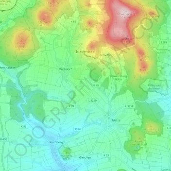
Name: Niedenstein topographic map, elevation, terrain.
Location: Niedenstein, Schwalm-Eder-Kreis, Hesse, 34305, Germany (51.18467 9.26312 51.25412 9.35330)
Average elevation: 958 ft
Minimum elevation: 604 ft
Maximum elevation: 1,834 ft