North Pole topographic map
Click on the map to display elevation.
About this map
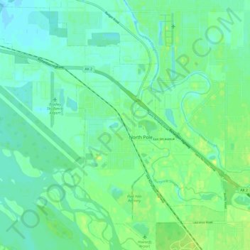
Name: North Pole topographic map, elevation, terrain.
Average elevation: 489 ft
Minimum elevation: 469 ft
Maximum elevation: 515 ft
Fairbanks North Star Borough trails, hiking, mountain biking, running and outdoor activities
Other topographic maps
Click on a map to view its topography, its elevation and its terrain.
Chatanika
United States > Alaska > Fairbanks North Star Borough
Located 2 miles (3.2 km) east of the confluence of Cleary Creek and the Chatanika River, Chatanika lies 20 miles (32 km) northeast of Fairbanks. Its altitude is 896 feet (273 m).
Average elevation: 892 ft