
Sabatan topographic map
Interactive map
Click on the map to display elevation.
About this map
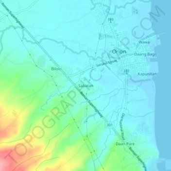
Name: Sabatan topographic map, elevation, terrain.
Location: Sabatan, Bataan, Central Luzon, 2102, Philippines (14.59355 120.54917 14.63355 120.58917)
Average elevation: 75 ft
Minimum elevation: -13 ft
Maximum elevation: 381 ft