
Dopshar-ri Gewog topographic map
Interactive map
Click on the map to display elevation.
About this map
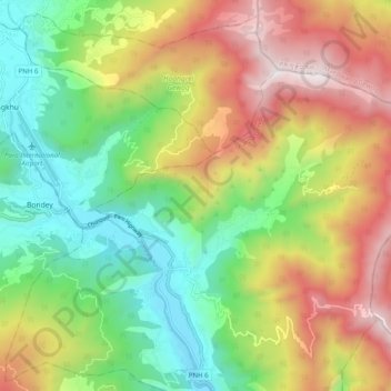
Name: Dopshar-ri Gewog topographic map, elevation, terrain.
Location: Dopshar-ri Gewog, Paro District, 12001, Bhutan (27.36339 89.40264 27.42031 89.50201)
Average elevation: 9,281 ft
Minimum elevation: 7,139 ft
Maximum elevation: 12,267 ft
Other topographic maps
Click on a map to view its topography, its elevation and its terrain.
Tagtshang
Bhutan > Paro District > Tsento Gewog > Nyechhu_Shar-ri
Tagtshang, Nyechhu_Shar-ri, Tsento Gewog, Paro District, Bhutan
Average elevation: 10,135 ft