
Auburn topographic map
Interactive map
Click on the map to display elevation.
About this map
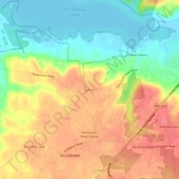
Name: Auburn topographic map, elevation, terrain.
Location: Auburn, Prince George's County, Maryland, 20607, USA (38.66234 -77.04275 38.70234 -77.00275)
Average elevation: 118 ft
Minimum elevation: -7 ft
Maximum elevation: 226 ft