
Atça topographic map
Interactive map
Click on the map to display elevation.
About this map
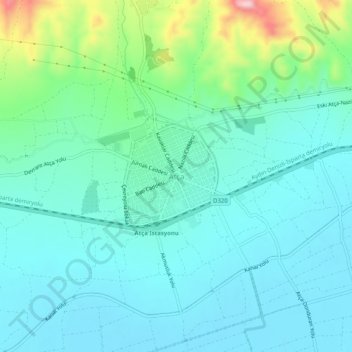
Name: Atça topographic map, elevation, terrain.
Location: Atça, Sultanhisar, Aydın, Aegean Region, 09650, Turkey (37.86887 28.19512 37.90887 28.23512)
Average elevation: 312 ft
Minimum elevation: 144 ft
Maximum elevation: 955 ft