
Devils Head topographic map
Interactive map
Click on the map to display elevation.
About this map
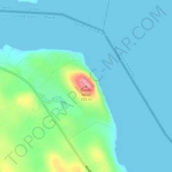
Name: Devils Head topographic map, elevation, terrain.
Location: Devils Head, Calais, Washington County, Maine, USA (45.15336 -67.16254 45.15346 -67.16244)
Average elevation: 59 ft
Minimum elevation: 0 ft
Maximum elevation: 331 ft