
Saint-Luc topographic map
Interactive map
Click on the map to display elevation.
About this map
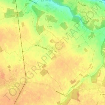
Name: Saint-Luc topographic map, elevation, terrain.
Average elevation: 453 ft
Minimum elevation: 371 ft
Maximum elevation: 489 ft
Other topographic maps
Click on a map to view its topography, its elevation and its terrain.
La Garenne
Frankrijk > Normandië > Eure > Les Trois Lacs
La Garenne, Tosny, Les Trois Lacs, Les Andelys, Eure, Normandië, Metropolitaans Frankrijk, 27700, Frankrijk
Average elevation: 171 ft
Les Barils
Les Barils, Bernay, Eure, Normandië, Metropolitaans Frankrijk, 27130, Frankrijk
Average elevation: 656 ft
Longchamps
Longchamps, Les Andelys, Eure, Normandië, Metropolitaans Frankrijk, 27150, Frankrijk
Average elevation: 400 ft