
Grizzly Peak topographic map
Interactive map
Click on the map to display elevation.
About this map
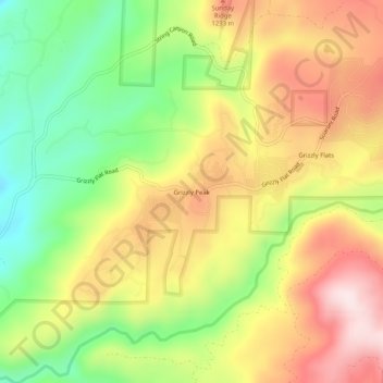
Name: Grizzly Peak topographic map, elevation, terrain.
Location: Grizzly Peak, El Dorado County, California, 95636, USA (38.61241 -120.56409 38.65241 -120.52409)
Average elevation: 3,688 ft
Minimum elevation: 3,002 ft
Maximum elevation: 4,383 ft