
Gries topographic map
Interactive map
Click on the map to display elevation.
About this map
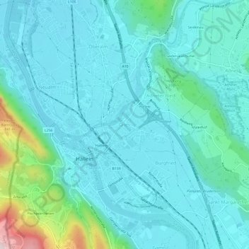
Name: Gries topographic map, elevation, terrain.
Location: Gries, Hallein, Salzburg, 5411.0, Österreich (47.66766 13.08516 47.70766 13.12516)
Average elevation: 1,634 ft
Minimum elevation: 1,407 ft
Maximum elevation: 2,884 ft