
官塘村 topographic map
Interactive map
Click on the map to display elevation.
About this map
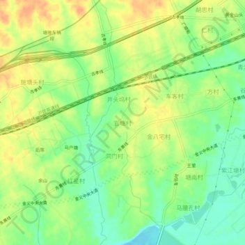
Name: 官塘村 topographic map, elevation, terrain.
Location: 官塘村, 金华市, 浙江省, 中国 (29.14414 119.81200 29.18414 119.85200)
Average elevation: 187 ft
Minimum elevation: 121 ft
Maximum elevation: 246 ft
Other topographic maps
Click on a map to view its topography, its elevation and its terrain.