
Arauquita topographic map
Interactive map
Click on the map to display elevation.
About this map
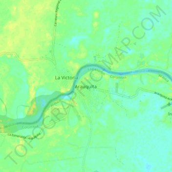
Name: Arauquita topographic map, elevation, terrain.
Location: Arauquita, Arauca, Colombia (6.98960 -71.46780 7.06960 -71.38780)
Average elevation: 515 ft
Minimum elevation: 489 ft
Maximum elevation: 554 ft