
Mount Wilson topographic map
Interactive map
Click on the map to display elevation.
About this map
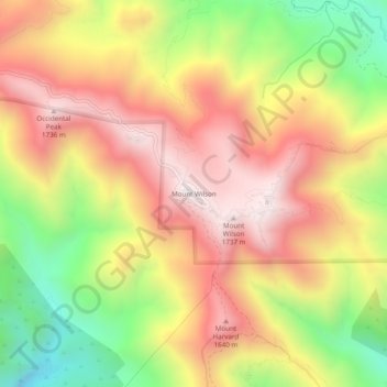
Name: Mount Wilson topographic map, elevation, terrain.
Location: Mount Wilson, Los Angeles County, California, 91023, USA (34.20639 -118.08618 34.24639 -118.04618)
Average elevation: 4,298 ft
Minimum elevation: 2,552 ft
Maximum elevation: 5,732 ft