
Hirschrott topographic map
Interactive map
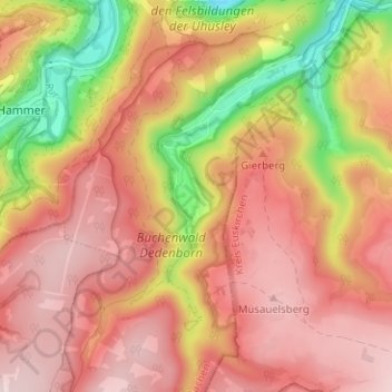
Click on the map to display elevation.
About this map
Name: Hirschrott topographic map, elevation, terrain.
Average elevation: 1,568 ft
Minimum elevation: 932 ft
Maximum elevation: 1,946 ft
Other topographic maps
Click on a map to view its topography, its elevation and its terrain.
Witzerath
Allemagne > Rhénanie-du-Nord-Westphalie > Région urbaine d'Aix-la-Chapelle > Simmerath > Witzerath
Witzerath, Simmerath, Région urbaine d'Aix-la-Chapelle, Rhénanie-du-Nord-Westphalie, 52152, Allemagne
Average elevation: 1,716 ft