央然康日峰 topographic map
Interactive map
Click on the map to display elevation.
About this map
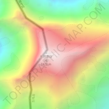
Name: 央然康日峰 topographic map, elevation, terrain.
Average elevation: 21,276 ft
Minimum elevation: 18,189 ft
Maximum elevation: 24,255 ft

Click on the map to display elevation.
Name: 央然康日峰 topographic map, elevation, terrain.
Average elevation: 21,276 ft
Minimum elevation: 18,189 ft
Maximum elevation: 24,255 ft