
奔都乡 topographic map
Interactive map
Click on the map to display elevation.
About this map
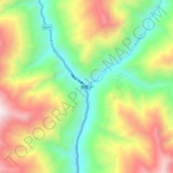
Name: 奔都乡 topographic map, elevation, terrain.
Location: 奔都乡, 得荣县, 甘孜藏族自治州, 四川省, 中国 (28.57646 99.26028 28.65646 99.34028)
Average elevation: 10,295 ft
Minimum elevation: 7,359 ft
Maximum elevation: 14,551 ft
Other topographic maps
Click on a map to view its topography, its elevation and its terrain.